Protecting Wungkun since 1992
The Low Isles Preservation Society (LIPS) is a conservation group dedicated to the protection and preservation of the Low Isles, and the marine, coastal and historic values of the surrounding areas.
In 1992, the Australian Maritime Authority announced it was removing the lighthouse keepers from Low Isles and automating the lighthouse. Local Douglas Shire community members stepped up to the challenge, rallying over 200 residents at a public meeting to vote for the formation of an incorporated organisation to protect the island.
A steering committee spent hundreds of volunteer hours creating a proposal for community-led caretaking. The model was so well received by GBRMPA and Queensland Parks and Wildlife Service that it attracted $1.5 million in Federal government funding.
Today, a voluntary executive committee runs LIPS. Full-time caretakers employed by GBRMPA reside on the island, while LIPS volunteers continue as relief caretakers, participate in maintenance and restoration projects, and conduct the iconic pied imperial pigeon counts.


LIPS Committee 2026
Non-committee general members
About Low Isles
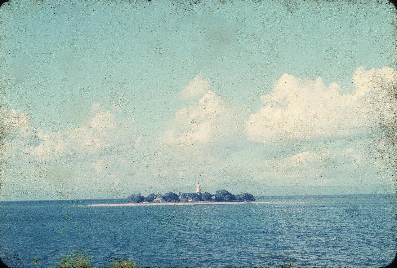
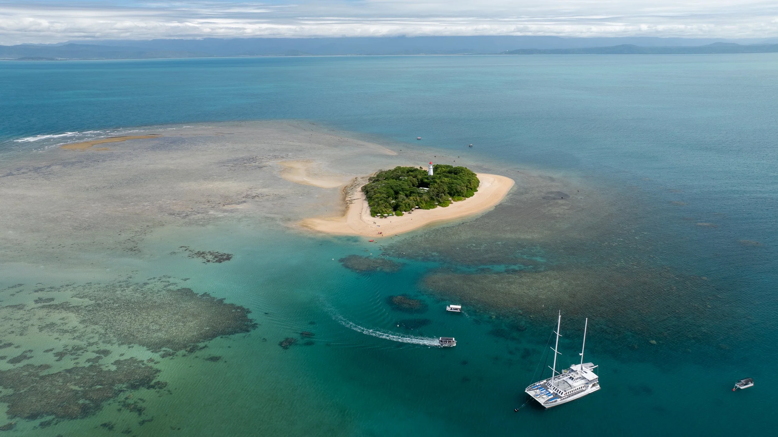
Low Isles is an inner patch reef 15km north-east of Port Douglas, composed of a small coral cay (Low Island) and a larger mangrove island (Woody Island). The combination of coral cay and mangrove island is unique to the Great Barrier Reef, and its hook-like shape provides a sheltered lagoon — an excellent refuge and feeding ground for a large population of adolescent turtles.
Low Isles is an important Indigenous cultural site for both the Kuku Yalanji and Yirrganydji people. The sea country of both groups overlaps at Low Isles, and the islands are known as Wungkun to local Indigenous people.
Captain James Cook recorded the islands in 1770, describing Low Island as "a small low island." It was officially named Low Isles in 1819. Between 1928–1929, Low Isles was the site of the first detailed scientific study of a coral reef anywhere in the world — creating baseline data invaluable for modern reef research.